


Client Background
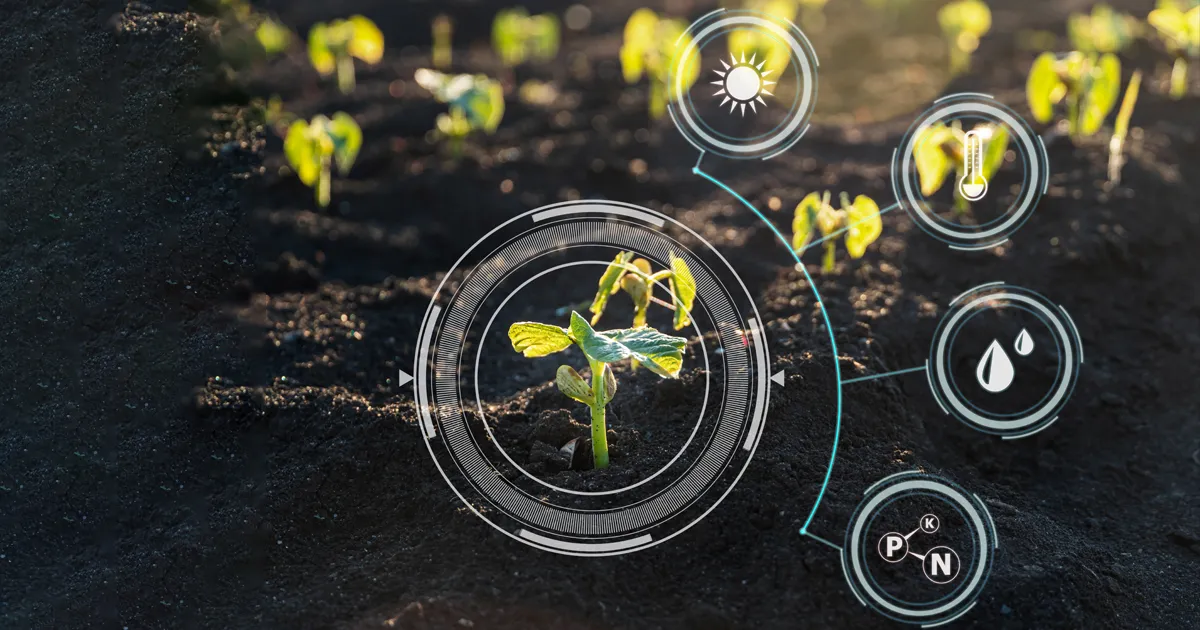
- The client is a leading chemical manufacturing company based in US. The company works with farmers and governments to monitor and improve crop production.
- The client wanted to harness power of remote sensing and satellite image processing to compute crop phenology mapping and farm boundaries to optimize costs and manpower.
Xoriant Solution | Key Contributions
- Selection of right satellite data sources and right bands of data for processing to achieve the optimum cost to accuracy ratio.
- Processing data from 2 different satellite data sources – farm boundaries detected data from Bing maps and assessed crop phenology with data from Sentinel-2 satellite
Key Benefits
- 90% reduction in the use of offline sensors for phenology computation
- 90% reduction in manual effort in farm boundary data collection


Inventory Management Transformation for a Billion-Dollar US Grocery Giant
From Data to Dollars: Unveiling the Magic of IoT for Real-Time Profits

Baking the Recipe for Integrated & Automated Data Analysis

Transforming Tenant Operations Using Integrated Web Platform


